The Vermont Agency of Natural Resources (ANR) is developing a new long-range management plan for the Worcester Range Management Unit and is conducting public scoping to better understand how Vermonters use and value these lands.
The long-range management plan serves as a guide for land management on ANR lands, and typically lasts for 20 years. ANR conducts public scoping early in the planning process to develop a better understanding of the public's interest in and use of state-owned lands. The public is asked to share their input through an online survey available here. The survey will be open until August 3, 2020.
"Public scoping is an important part of the management planning process - it is a chance for us to hear from the public early in the process about how they use and what they value about these lands. This input influences a first draft of the plan, which we later share back with the public for comment before moving on to a final draft," said Brad Greenough, Stewardship Forester for the Barre District of the Department of Forests, Parks, and Recreation, who leads the multi-disciplinary team of ANR experts tasked with developing the plan.
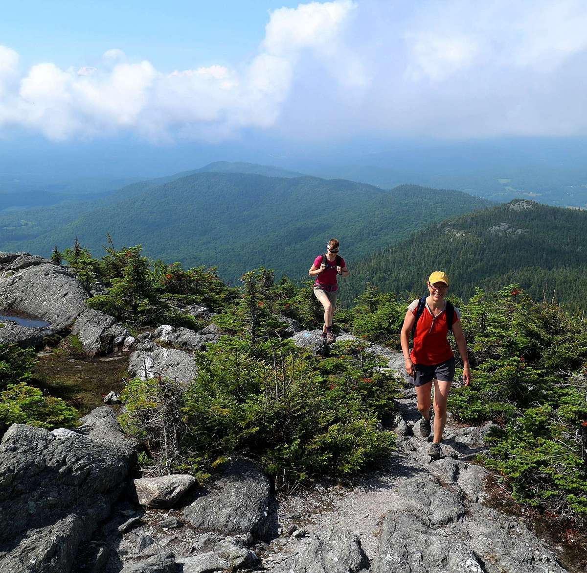
The Worcester Range is iconic in Vermont, forming the scenic backdrop to the State's capital, and providing close access to public lands from central Vermont's population centers. ANR manages five properties that run the length of the mountain range, spanning 18,772 acres, including C.C. Putnam State Forest, Elmore State Park, Middlesex Notch Wildlife Management Area (WMA), Middlesex WMA, and Worcester Woods WMA, with land in five towns: Middlesex, Waterbury, Stowe, Elmore, and Worcester.
The management unit contains many popular recreation destinations, including Mount Hunger, Perry Hill, Stowe Pinnacle, Moss Glen Falls, Mount Elmore, Elmore State Park, and Mount Worcester, as well as two prominent new state acquisitions: Brownsville Forest (758 acres, Stowe), and the Hunger Mountain Headwaters, which includes the Patterson Brook tract (1,877 acres, Middlesex) and the Upper Hollow tract (108 acres, Stowe).
The Worcester Range is significant for its benefits to wildlife, too, as one of the largest uninterrupted forest blocks in the state. These thousands of acres of forest, intermingled with over 500 acres of wetlands, provide space for animals to move within and between other large blocks of habitat to expand their range, find mates, and in response to climate change. Aquatic animals benefit, too.
"With headwaters providing clean water to downstream communities and Lake Champlain, thousands of acres of uninterrupted forests, and popular recreation destinations, management of the Worcester Range requires thoughtful coordination across our three departments," said ANR Secretary Julie Moore. "Our staff take great pride in carefully stewarding this well-loved landscape on behalf of the people of Vermont."
Members of the public are encouraged to visit https://arcg.is/18yPq4 to learn about the Worcester Range Management Unit and to take the public scoping survey. Comments can also be emailed to ANR_WRMU_PublicComment@vermont.gov.